Regional Geospatial Mapping
Regional Geospatial Mapping
Modern exploration programs are dependent on many components to unlock new mineral potential. Geospatial mapping at the regional scale represents a key building block and serves many purposes at different stages of the exploration process, each with different data needs. For example, rapid turn-around geochemical data allows faster decision making for ongoing exploration, including detection of geochemical anomalies in soils and tills, screening samples for pathfinder elements, or quantification of major and trace elements for lithotyping and alteration mapping. More comprehensive, high-resolution data sets may be required to build spatial models of the deposit environment and feed strategies for ongoing drilling.
Bruker supplies analytical instrumentation and solutions that allow companies to generate high quality geochemical data with rapid turn-around times in the field or forward deployed exploration sites. From field portable to compact but rugged countertop analyzers Bruker instruments streamline sampling and analysis workflows, allowing data collection to happen at the time and place that decisions need to be made.
Portable and Remote Geochemical Analyzers

Bruker's expertise can help build a field-based analytical solution based on the appropriate instrumentation and robust sample preparation methods required. Working with partners Bruker has developed field-portable sample preparation protocols that allow high-quality and high-repeatability geochemical data for any program. Choose from handheld XRF units that are light enough to be carried in a back-pack, to compact countertop XRF units that can be set up in the back of a vehicle. Bruker analyzers don't replace a full lab approach to comprehensive geochemistry but allow a lab to streamline their approach and make more decisions in the field or remote exploration office.
Portable analyzers enable:
Rapid screening of soil or till samples for pathfinder elements and minerals, and fast turn-around soil geochemical mapping
Quick scanning of drill chips or core for monitoring lithological change and gradients in alteration intensity
QA/QC of sampling programs allowing monitoring of lithological and geochemical variability to ensure consistent and appropriate sampling intervals
QA/QC of sample preparation by measuring duplicates of pulps and standards
Rapid re-analysis of samples and pulps where narrow element ranges were collected in the original lab-based geochemistry.
On-site and Forward Deployed Solutions for Bulk Geochemistry
Modern approaches to exploration and the development of more advanced data infrastructures allows many aspects of data collection for regional geochemistry and geospatial mapping to be forward deployed to exploration camps and remote field offices, while data is delivered via the cloud to key personnel for reduction and interpretation wherever they may be in the world. With instrumentation designed to be run off a regular power source or even a battery, built to withstand operation in the exploration environment, and run from a simple user interface, lab-quality data can be generated in a remote office, core shed, shipping container, or even the back of a truck. Coupled with field-appropriate sample preparation solutions, regional geochemical mapping has never been simpler.
Analytical solutions include:
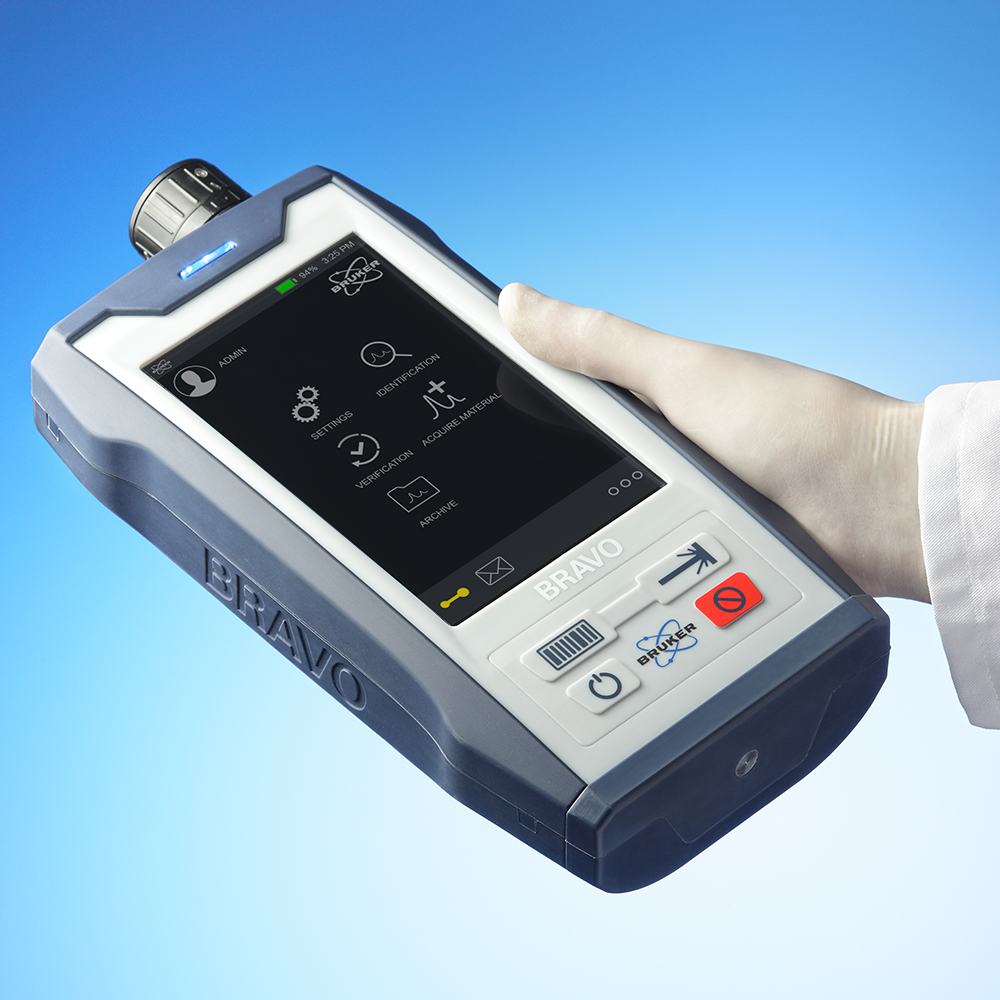
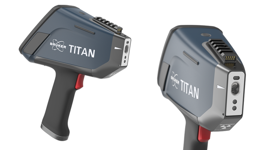
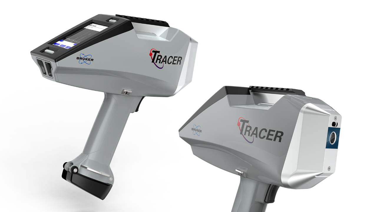
Fully portable TITAN handheld XRF analyzer for easy and rapid screening and QA/QC of samples destined for full lab work-ups
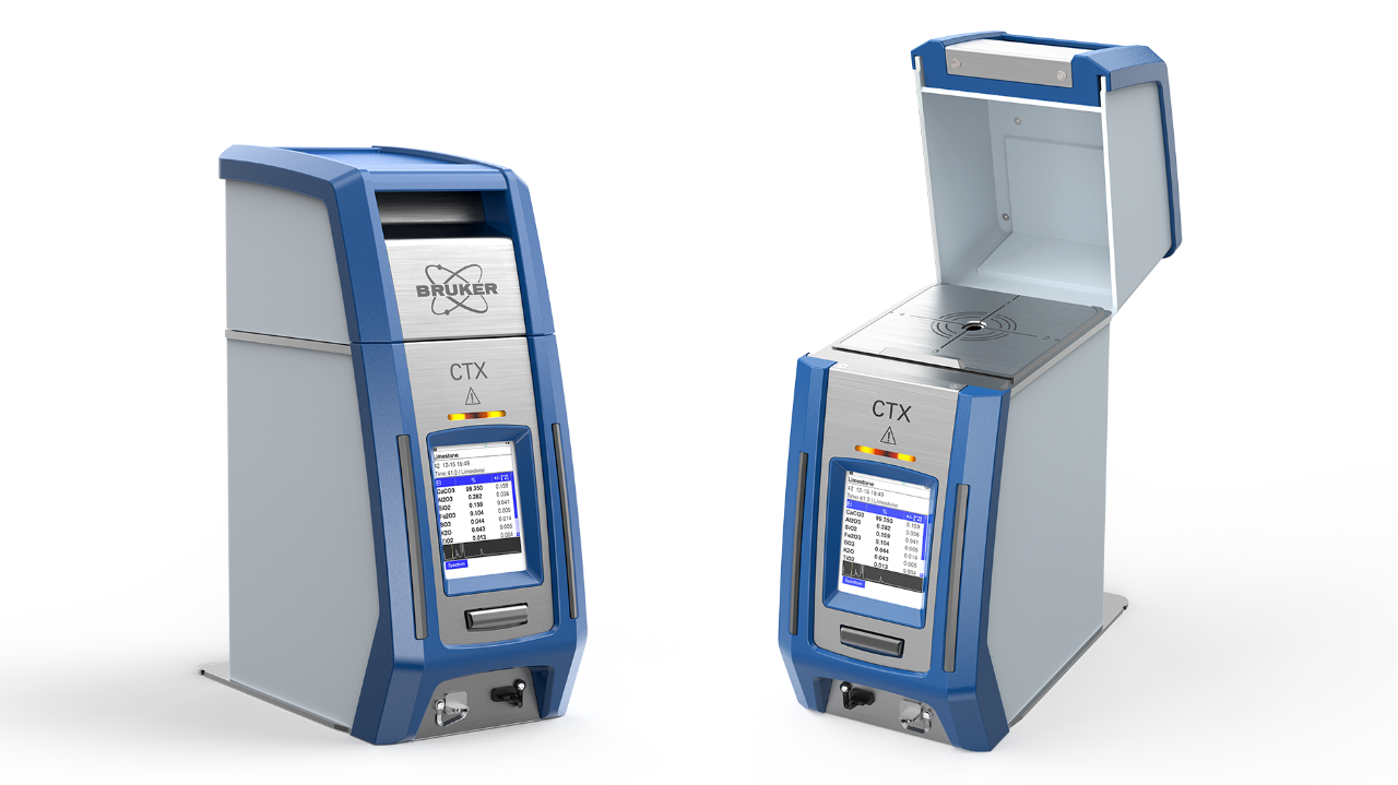
Bruker's CTX, a compact countertop XRF analyzer that is fully X-ray shielded and comes in a rugged case that can be mounted on work benches or even the bed of truck
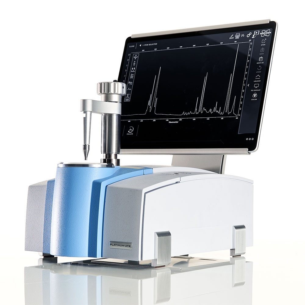
The compact countertop ALPHA II FT-IR for identification of clay minerals or other key alteration phases not easily characterized based on elements alone
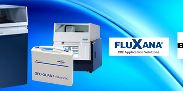
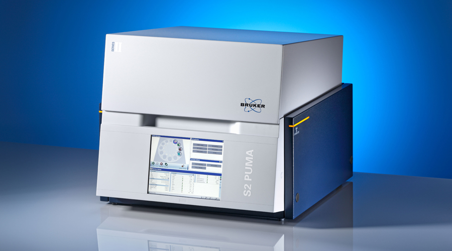
Multi-sample benchtop ED-XRF analyzers such as Bruker's S2 PUMA, which enables high-throughput geochemistry in a compact unit.
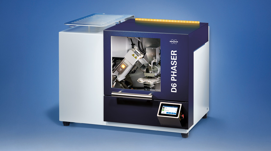
- The D6 PHASER benchtop X-ray Diffraction solution is often taken into the field in the back of a truck or van. XRD provides phase identification and quantification which is not only complementary to elemental species analysis, but also a necessary step in fully characterizing geological formations.